Well, maybe not “new” new, since I’ve posted assorted images of Mariupol over the past year, but Google has updated the satellite images that appear in maps and on Google Earth. It’s not just a single pass and it’s not quite clear when all the images were taken, but they appear to definitely be after the invasion, and from what I’ve seen, most of the siege. This Meduza article gives some details and has a number of before/after photo comparisons: After the siege Google updated its satellite images of Mariupol for the first time since 2021. The photos show destruction on a catastrophic scale. – meduza.io
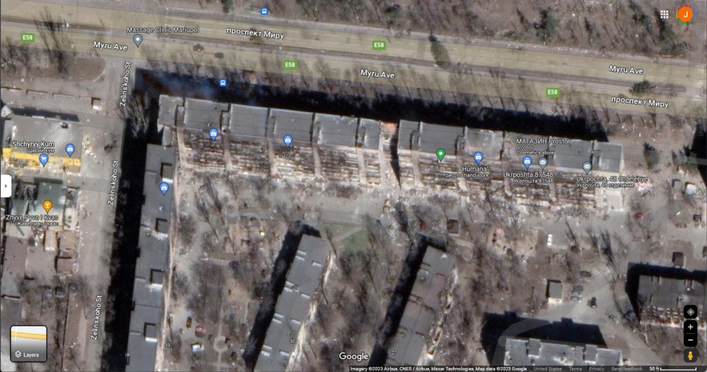
Viktoria and I were looking over portions of the images quite intently the other evening. Of course, we looked up the apartment block where her mother and son used to live — it’s the long building at the top left. (Side note: the first “diagonal” building at the middle bottom, left side, is where V and I rented an apartment during the visit to Mariupol when we had a church wedding. We’d had our state wedding maybe four years before.)
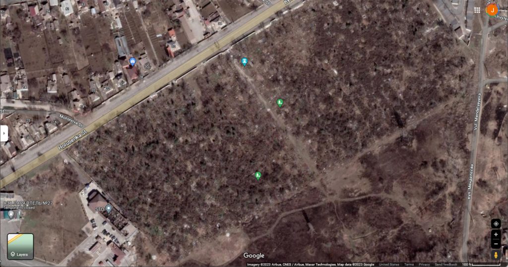
What got us going on Google Maps was that V actually wanted to see the cemetery where her mother was buried. I’d mentioned before that she’d heard that the cemetery had been damaged during the siege and occupation. We found it (V wasn’t used to locating it from above, so it took a little “calculating”), and other than some broken outer walls, there doesn’t appear to be much damage. Since we don’t know exactly when the image was taken, it’s hard to know if this is how it looks today.
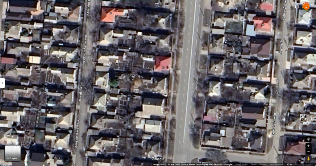
We also looked up the old family house; in the image, it’s the red-roofed house in the middle. This was the house her grandparents built, where she was born and lived the first few years of her live. Zhenya lived there when I first met Viktoria, so I’ve been there and seen. In the image, things look pretty much intact, but there are some other houses — like the one a couple doors up — that appear to have hit badly.
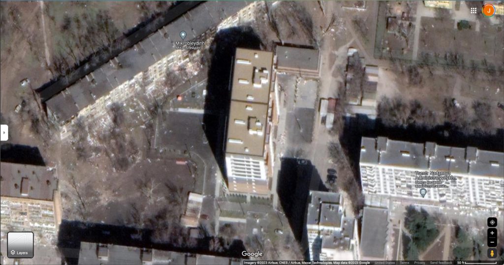
We also found this curious building when we were scrolling around finding friends houses and such. It looks completely new, which is probably is. V tells me this was the/a police building, so I could see how occupation forces might take it over and make it one of the first places rebuilt. I’m sure that none of the photos sent to the Russian media happen to show the still-ruined building behind it (to the left in the image).
The Meduza article had a picture showing some of the cratering caused by missiles and shelling. It’s much easier to see when it’s an open field, but imagine that pattern of cratering over a city and the things that would happen to the buildings that got in the way. That’s what was done to Mariupol.
Here’s a video I’d come across a while ago; I’ve been meaning to post it, but there always seemed to be something more important to note. This, however, is the perfect context. It’s more open fields — not necessarily in or around Mariupol — that show the indiscriminate nature of the artillery use by the Russians. And while these are just empty fields, they do the same to cities. We know that they can actually target things — they did so last summer, with fairly precise strikes on the Ukrainian electrical grid — so the fact that they do this sort of random shelling means they aren’t just trying to take out an army; they are trying to destroy a country and its people.
I’m glad that you checked Google maps. I never thought of that. Even though it is terrible to see the damage that is being done, it is absolute proof of the destruction.
As always, my thoughts and prayers are with you.